Best Drone Software for Roof Inspections [Top Picks]
4 min. read
Updated on
Read our disclosure page to find out how can you help Windows Report sustain the editorial team. Read more
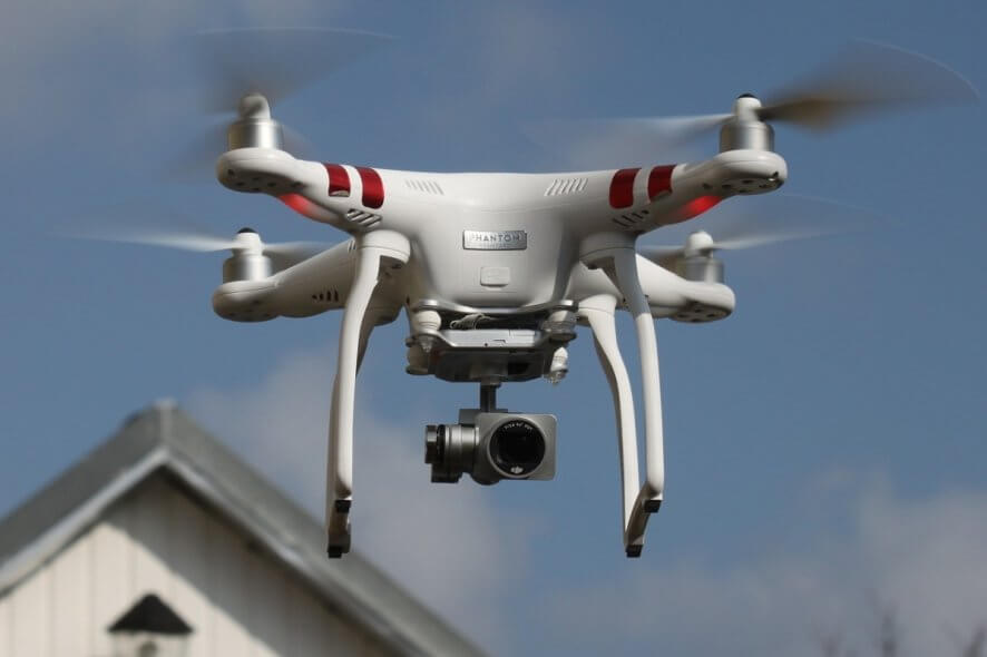
The best drone software for measuring roofs
IMGING
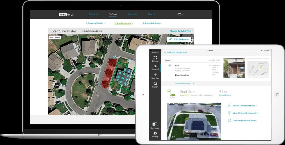
IMGING is one of the best tools around if you’re considering getting into performing measurements for your construction needs or if you want the perfect solution for measuring your roof using your drone.
It goes without saying that even attempting to use IMGING without a drone would prove futile.
With this tool, you can gather information about various buildings and analyze it by using a supported drone and your mobile device.
IMGING is capable of automating drone-based image capturing operations, organizing drone and ground photos, provide you with measurement and facilitate data analysis with its deep learning and AI components.
It is possible to use this tool to detect a series of damage types on commercial or residential roofs, such as:
- Rust;
- Soft metal damage;
- Exposed underlayment;
- Alligatoring and cracking;
- Ponding water;
- Blistering on flat roofs;
DroneDeploy
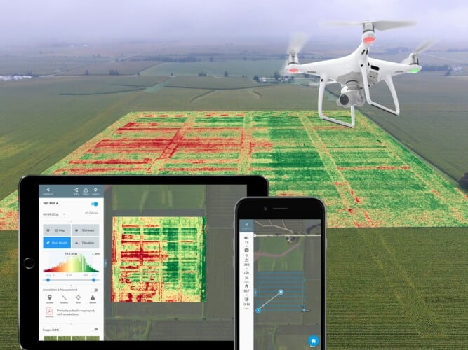
DroneDeploy is a versatile software solution that can be used in a broad variety of situations, ranging from creating customizable 3D maps using images picked by the drone to inspecting roofs, performing roof measurements and generating comprehensive reports from the findings.
It is worth mentioning that, as its name suggests, DroneDeploy can only be used in conjunction with a drone. The advantage of using this program is that it works with basically any drone that’s capable of handling the tasks.
The drone plays the role of the muscle in carrying out the calculations, while DroneDeploy is the brains behind this operation by collecting the high-resolution roof imagery and generating the reports you need.
Additionally, DroneDeploy is capable of generating 3D models and DXF files that you can work process by using other specialized programs (such as AutoCAD).
EZ3D
EZ3D is one of the best drone software solutions for construction and roof measurement that you can use from both your computer and your phone. You can use this tool, or better said, this ensemble of tools, to inspect, measure and analyze roofs with consumer-level drones.
As you probably figured out from the context, EZ3D can’t be used without a drone. According to the producer’s website, any standard DJI drone will do the trick.
EZ3D, in conjunction with the drone, can gather photos of the entire building’s exterior, which you can upload them to the cloud by using a complementary app, called EZFly. The photos can be then inspected, and further used for estimating repair costs in PDR reports or ESX claim files.
Pix4D
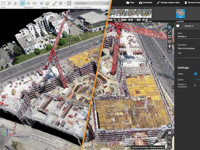
Pix4D is certainly one of the best all-round drone software solutions for all your construction needs, whether it’s surveying your construction site, performing measurements on buildings, or assessing the wellbeing of your roof we’re talking about.
Since it falls under the drone software category, it goes without saying that using this tool can be only done hand in hand with an adequate drone, one that could handle these operations with minimum efforts.
Compared to traditional methods such as climbing and ladders, using Pix4D to perform difficult measurements is considerably faster, and cheaper.
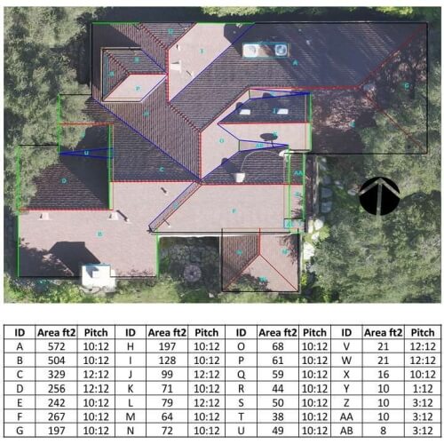
This program can get you an online, measurable tridimensional model of the object of your choice, but also mark elements on a map, measure distances, calculate wall dimensions or roofs, and at the end of it all, share your project with others.
Closing thoughts on best drone software for construction and roof inspections
All in all, if you’re working in the construction field, you probably agree that manpower can be hard to find and is quite expensive, as well, especially if you need it for complicated measurements and assessments.
For all your construction measurement needs and roof assessment issues, you can turn to specialized drone software, such as Pix4D, EZ3D, IMGING, or DroneDeploy since all of these make excellent tools and can lift a heavy burden off your shoulders in the situations depicted above.


User forum
0 messages