Microsoft details adding external elements to Windows 10 mapping apps
2 min. read
Published on
Read our disclosure page to find out how can you help Windows Report sustain the editorial team. Read more
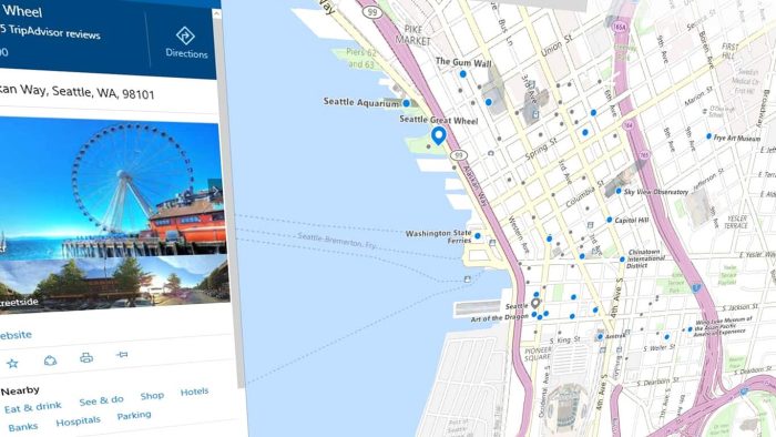
Microsoft has recently begun publishing a series of blog posts that showcase how app developers can incorporate and customize the Windows 10 Maps API in their apps to produce a variety of results. While the first entry introduced the basic concepts of the Maps API, the latest post delves a bit deeper and covers how to customize the MapControl class and add specifically designed pushpins and external elements.
The pushpins are basically the graphical representation of actual pins on a map that can be used to communicate a specific location to the end user, such as a shop or their own location. These pushpins can be customized to have their own unique image and can be connected to each other by editing the MapPolyline class in the code.
The MapPolygon class can be used to color in areas of a map and adding XAML elements to the map’s Children collection can customize it further.
It’s great that Microsoft is communicating so much with developers as not only do posts like this educate but they can also inspire the creation of completely new apps. Which map app do you use on your Windows phone? Let us know in the comments below.
User forum
0 messages