How To Get Satellite View on Google Maps on PC - Simple Guide
![]() 2 min. read
2 min. read
![]() Updated on
Updated on
Share this article
Improve this guide
Read our disclosure page to find out how can you help Windows Report sustain the editorial team. Read more
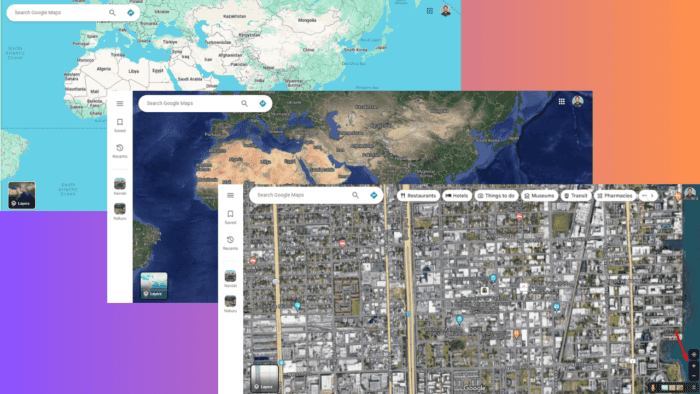
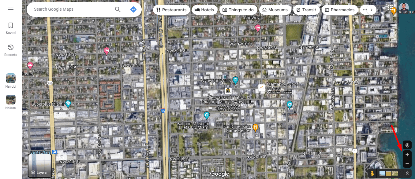
If you’re curious about how to get satellite view on Google Maps PC, you’re in the right place. Satellite view offers a unique way to explore the world from a bird’s-eye perspective. I’ll show you how to switch to it on Google Maps using your PC.
Read on to learn more!
How To Get Satellite View on Google Maps PC
Follow the below steps:
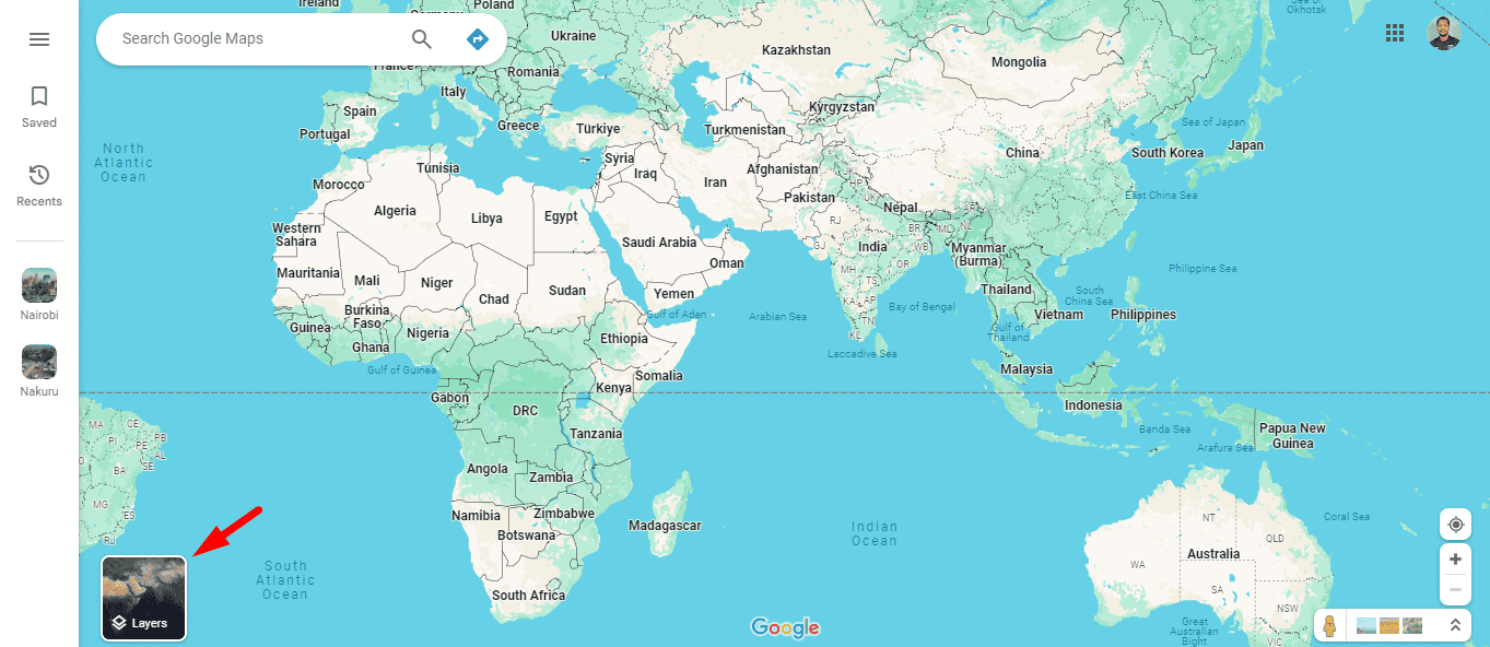
- Open your PC’s browser and go to the Google Maps website.

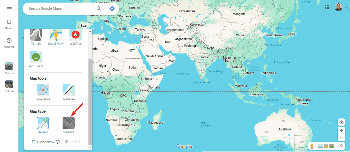
- Tap the Layers button and select More from the options available.
- Scroll down and tap Satellite under map type.
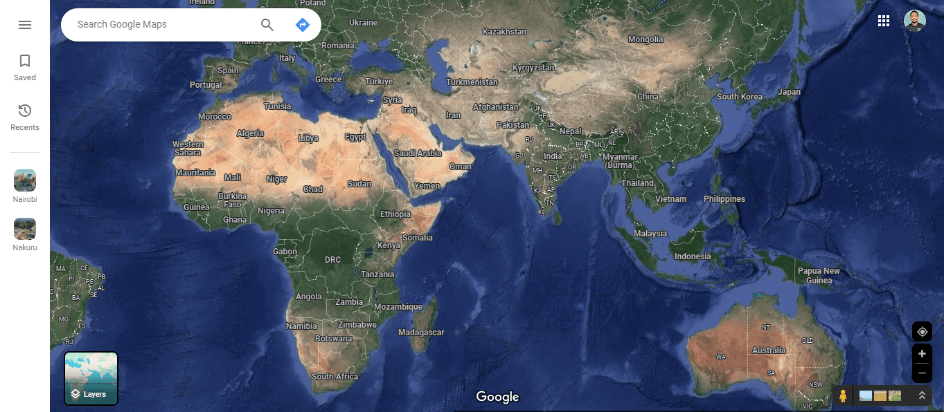
- Your map will change to the Satellite view.
- Zooming allows you to get a better view of the street. Use the mouse’s scroll button or the map’s “+” icon.
That’s it! Simple, right?
Exploring the world through Google Maps’ satellite view is both fun and informative. These steps will help you switch to satellite view and see detailed images of any place you’re interested in. Whether you’re planning a journey, researching a location, or just satisfying your curiosity, this feature offers a unique and engaging way to see the world.
Now that you know how to view satellite images in Google Maps, why not try to add a location to Google Maps? It’s simpler than you think!
Do keep in mind satellite view needs to be enabled, and if it’s not then 3D won’t work in Google Maps on your PC.
Additionally, check out our guide to learn how to rotate Google Maps on your desktop or how to see toll prices. You can also easily change the language and measure the distance.


User forum
0 messages