5 Best Photo Location Finder Tools
5 min. read
Updated on
Read our disclosure page to find out how can you help Windows Report sustain the editorial team Read more
Key notes
- Taking pictures is fun, but what if you want to find a location where a certain picture was taken?
- Finding the location where a picture is taken is possible with photo location finder tools, and today we’re going to show you the best ones for that task.
- Are you interested in Photo editing? You can learn all about it in this dedicated Photo editing article.
- Want to learn more about similar tools? You can find all the information that you need in our Social & Communications section.

We take photos frequently, but sometimes, you need to find out the location where a photo was taken. Luckily for you, specialized tools can help you with that.
Various tools can be used for this purpose, and in today’s article, we will show you the best photo location finder tools you can use.
What are the best photo location finders?
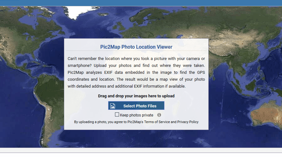
Pic2Map
Pic2Map is a simple service that lets you upload your images and see the location where the picture was taken. This is done by analyzing EXIF and GPS data from the image.
The service analyzes EXIF data, and it shows you the exact location on the map where the image was taken. You can also use Pic2Map to view EXIF information, such as the camera model, shutter speed, etc.
Regarding the location, you can see the name of the city or town where the image was taken, as well as the name of the state/country.
Remember that the service makes all your images public, so you need to check the privacy option when uploading them to keep them away from search engines.
Pic2Map is a simple but powerful service, so you should try it out.
Pic2Map features:
- Simple to use
- Can determine the location of the image based on EXIF and GPS data
- Can show you EXIF data of an image
- Will show you the exact coordinates and location on the map
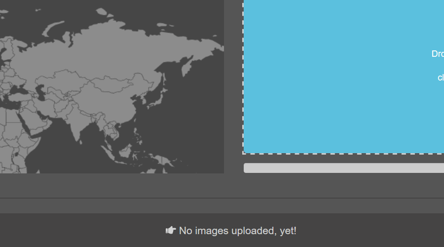
GeoImgr
Another great photo location finder service is GeoImg. The service uses your uploaded images to read their EXIF data. After reading the data, you should see a location on the map where the photo was taken.
The service also allows you to add geotags to your images by selecting the location on the map where the image was taken.
The service is incredibly simple, but the free version allows you to upload only 5 images per day, which may be a problem for some users.
GeoImgr features:
- Simple to use
- Ability to find image location from the EXIF data
- You can add geotags for images without them
- Support for bulk uploads
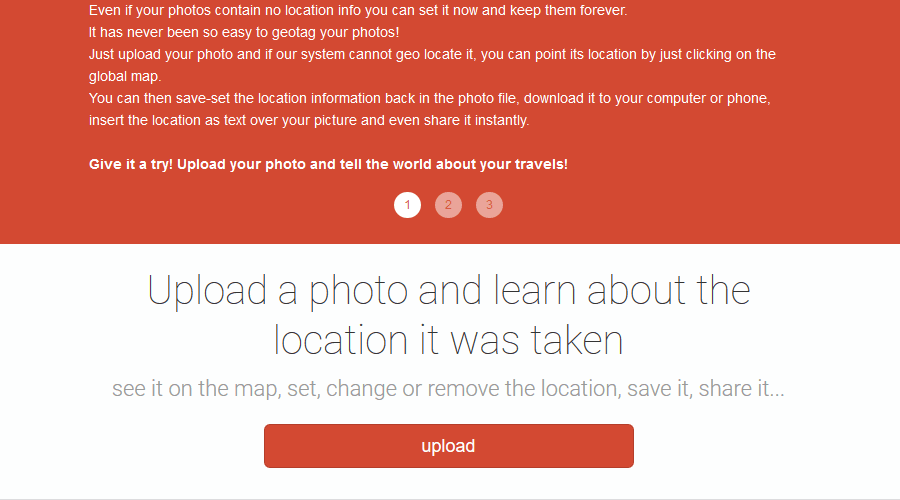
Photo Location
If you need to discover the location of a certain picture, you can always use the Photo Location service. The service will read the EXIF data and GPS coordinates and try to determine the location of the picture.
If your pictures don’t have geotags, you can use Photo Location to add geotags to your images so you don’t forget where the picture was taken.
On the other hand, if you want to protect your privacy, you can remove geotags with this tool or change them. This is important if you plan to share your pictures with the public.
Photo Location is a simple but powerful service, and if you want to find the location of a certain image, you should try it out.
Photo Location features:
- Ability to view saved geotagging information
- Can add geotags to images without them
- Can be used to remove or change geotags of images
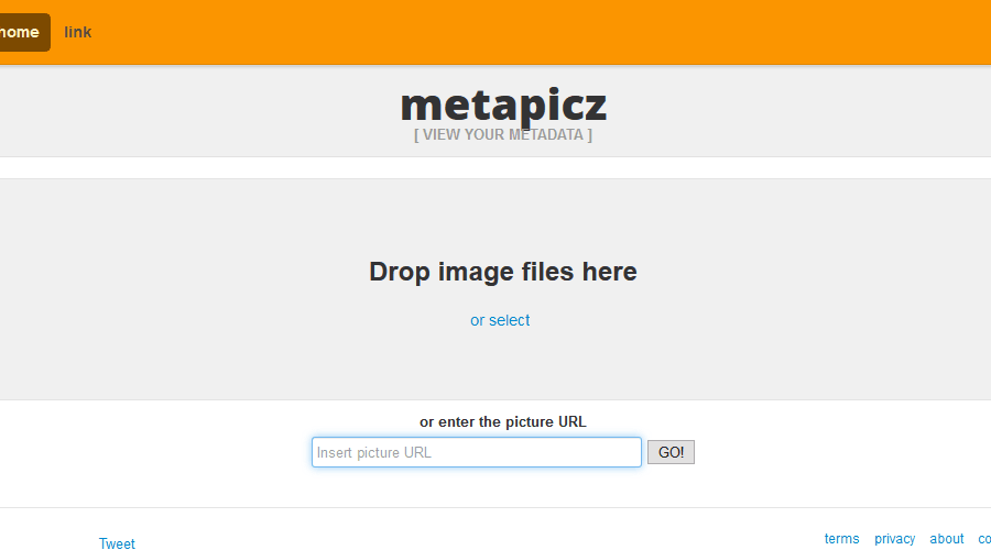
Metapicz
Another great service that works as a photo location finder is Metapicz. The service allows you to upload your own images, or you can paste the URL to the image.
After uploading your image, you can view all EXIF data such as the camera model, exposure, focal length, aperture, ISO speed, etc.
In addition, if geotag was enabled, you’ll be able to see the GPS coordinates where the image was taken along with the exact location on the map.
Metapicz is an incredibly simple tool, but it will get the job done, so be sure to consider it.
Metapicz features:
- Incredibly simple to use
- Supports image upload and image URLs
- Can show you EXIF and geotag data
Whereisthepicture
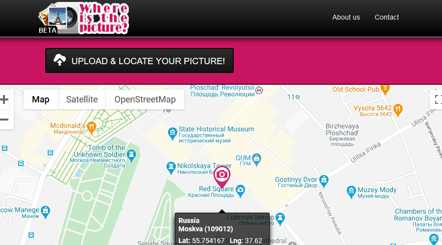
Whereisthepicture is another photo location finder service that can easily find the location where the picture was taken.
The service is pretty simple to use and to find the location where the image was taken, you just need to upload the image and the service will do the rest.
Whereisthepicture will analyze geotag and EXIF data and show you the exact location where the image was created on the map.
Overall, the service doesn’t offer any extensive features, but it does its job well, so you might want to try it out.
Whereisthepicture features:
- Straightforward to use
- Will read geotagging information from your pictures
- Will show you the location of the picture on a map
Finding the location of a picture is pretty simple as long as you have a photo location finder tool available. We covered some of the best tools for this task in this article, so be sure to consider them.
Should you encounter other GPS-related issues where the AT&T family map is not working, don’t hesitate to check out our expert article for solutions.





User forum
0 messages